
Welcome to Al-Furqan’s E-Database
The largest gateway of Islamic written heritage
‘Our Publications’ databank / collection
‘Our Publications’ collection is a bibliographic database of the Foundation's own publications. These works are the outcome of prominent research projects and events carried out by the three centres of the Foundation, i.e. the ‘Manuscripts Centre’, the ‘Mawsoa Centre’ and the ‘Maqasid Centre’.
This collection was added to the ‘Al-Furqan Digital Library’ to enrich the user research experience. The collection is continuously updated, and currently contains over 200 works in over 400 volumes. These cover both introductory and advanced topics discussed and presented by distinguished scholars in the field of Islamic written heritage.
It also includes many popular and heavily cited publications, as well as award winning works, such as the critical edition of al-Isfizāri’s book which deals with the field of mechanics, known as “the sciences of weights and mechanical devices” (‘Ilmay al-Athqāl wal-Ḥiyal). Other popular items include works by the late famous scholar Annemarie Schimmel, such as The Secrets of Creative Love (1998) and Islam and the Wonders of Creation(2003); and many other highly demanded references, including the unique Encyclopaedia of Makkah Al-Mukarramah and Al-Madīnah Al-Munawwarah.
World Maps for Finding the Direction and Distance to Mecca: Innovation and Tradition in Islamic Science
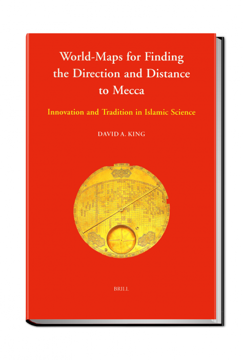
With supporting images, this book gives an overview of the methods employed by Muslim scholars throughout history to locate the correct direction of the Holy Shrine of Makkah and the distances to it. The book then describes in detail two world maps discovered in Iran between 1989 and 1995. The author shows that the geographical data used in the maps were drawn from works in Central Asia and date back to the fifteenth century. As for the mathematical data, the author traces them back to Baghdad in the ninth century.
 Shared Knowledge
Makkah and Madinah Centre
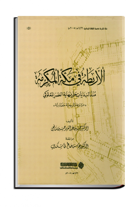 Rubats in Makkah from Early Beginning until the Mamluki Period: A Historical and Cultural Study
Makkah and Madinah Centre
Makkah and Madinah Centre
 Ijāzāt ʿUlamāʾ wa-ʿĀlimāt al-Ḥaramayn al-Sharīfayn li-ʿUlamāʾ al-Amṣār